
North. Safe. Sound.
Ice Safety
Resources
SmartICE works closely with our Community Management Committees (CMCs) across the North to document, preserve, and share local ice knowledge. Together, we develop ice travel safety resources that combine Indigenous and local knowledge with community expertise to support safe travel on sea ice.
These resources are developed in partnership with communities, The current collection of ice safety resources includes seasonal ice travel maps, ice safety posters, the Sea Ice Terminology book, a Sea Ice Atlas and a computer game from the communities of Mittimatalik (Pond Inlet), Gjoa Haven, Nain, Qikiqtarjuaq, and Taloyoak. These resources provide valuable information about ice conditions, travel routes, hazards, place names, and sea ice terminology while helping ensure local knowledge remains accessible for future generations.
These resources are provided free of charge to residents of the communities in which they were developed, helping ensure that locally generated knowledge remains available to those who rely on it.
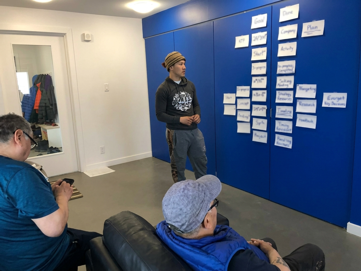
Developed in partnership with communities including Mittimatalik (Pond Inlet), Gjoa Haven, Nain, Qikiqtarjuaq, and Taloyoak, this collection includes seasonal ice travel maps, ice safety posters, the Sea Ice Terminology book, and the Sea Ice Atlas. These resources provide valuable information about ice conditions, travel routes, hazards, place names, and sea ice terminology while helping ensure local knowledge remains accessible for future generations.
Explore the resources below to learn more about each publication and ice safety tool. Selected previews and information are available here, full versions available for purchase.
Faq
What are SmartICE ice safety resources?
SmartICE ice safety products are co-designed with communities that document and share Indigenous knowledge about ice, travel routes, seasonal hazards, place names and terminology. Resources include seasonal ice travel maps, ice safety posters, the Sea Ice Terminology book, the Sea Ice Atlas, and other community-specific tools.
How are the products co-designed?
SmartICE works with Community Management Committees (CMCs), local ice experts, Elders, and other community members to document and preserve local knowledge. SmartICE Knowledge Coordinators work alongside communities to bring this knowledge together with monitoring information to develop resources that reflect local priorities and knowledge.
How do SmartICE's ice knowledge resources connect to ice monitoring?
SmartICE ice knowledge resources are co-developed through a collaborative process that integrates community knowledge with information collected through SmartICE monitoring and mapping services.
Community Management Committees and local knowledge holders help identify areas of interest, travel routes, hazards, place names, and other information that should be documented. SmartICE Knowledge Coordinators then work with community members to bring this knowledge together with information from SmartICE monitoring systems, satellite imagery, and mapping.
The information is reviewed and developed with the community into resources such as seasonal ice travel maps, posters, atlases, and terminology books. This process helps ensure that the resources reflect local knowledge, community priorities, and the information collected through SmartICE monitoring.